Portable GeoServer 2.11.0 for Windows
Chris Holmes
A server especially conceived and developed for those who need to analyze and share geospatial data and create detailed maps from it
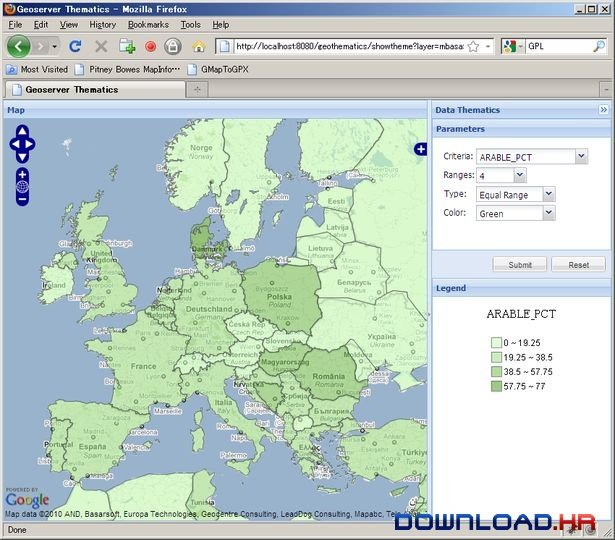
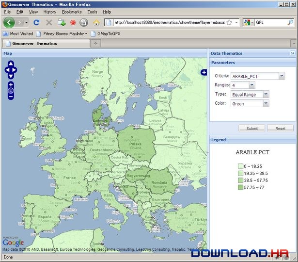
Portable GeoServer is an application developed with Java and the Geotools toolkit which enables you to create and share maps, as well as edit geospatial data using the open standards provided by OGC (Open Geospatial Consortium). The application offers the use of the OpenLayers mapping library which allows you to easily generate maps. It also incorporates the WMS standard that enables you to create maps in a wide range of formats such as JPEG, GIF, PNG, PDF, SVG and KML. Using Portable GeoServer you are able to generate maps and share them with other users or developers who wish to incorporate them into their own projects and software as it complies with the Web Feature Services standard. With this tool you are able to share your maps across popular platforms such as Google Maps, Google Earth, Microsoft Virtual Earth and more. Portable GeoServer can be accessed through a web based interface. It allows you to create a custom database and most importantly, it supports working with both raster and vector data. The server works with databases such as PostGIS, H2, ArcSDE, DB2, MySQL, Oracle, Microsoft SQL Server and SQL Azure, Teradata and INDI. It also facilitates the use of application schemas and cascade services. Since geospatial data does not contain a visual component, to be able to see it, Portable GeoServer provides the means to stylize it by customizing color, thickness and various visual attributes. As a user, you can interact with Portable GeoServer through an administrative interface which is accessible on a localhost port. After you login to your account, you can manage all the existing services and data. You can also download GeoServer (installer version)
Software Summary:
You can run Portable GeoServer on Windows operating systems. Portable GeoServer is a software product developed by Chris Holmes and it is listed in the category. Portable GeoServer is a free software product listed under The GNU General Public License (GNU GPL or GPL) license which means that it is fully functional for an unlimited time and that you have freedom to run, study, share (copy), and modify the software.


